Amazon Deals

New at Amazon

Friday, September 20, 2019

Friday links

For Firefly fans - today is Unification Day

Who Invented Rock, Paper, Scissors and What's the Best Way to Win Consistently?

Tunnel Of Samos - how did the ancient Greeks dig a 4000-foot tunnel from both ends and meet exactly in the middle in the 6th century BCE, 200 years before Euclid?

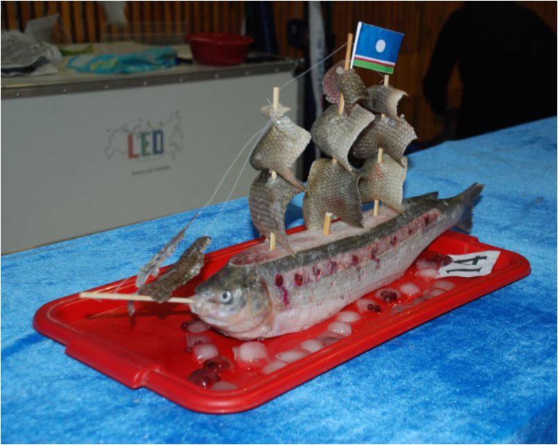
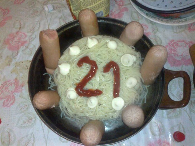
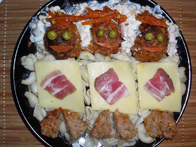
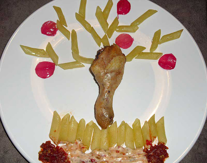
Awkward Russian Food Art.

What country owns the North Pole?


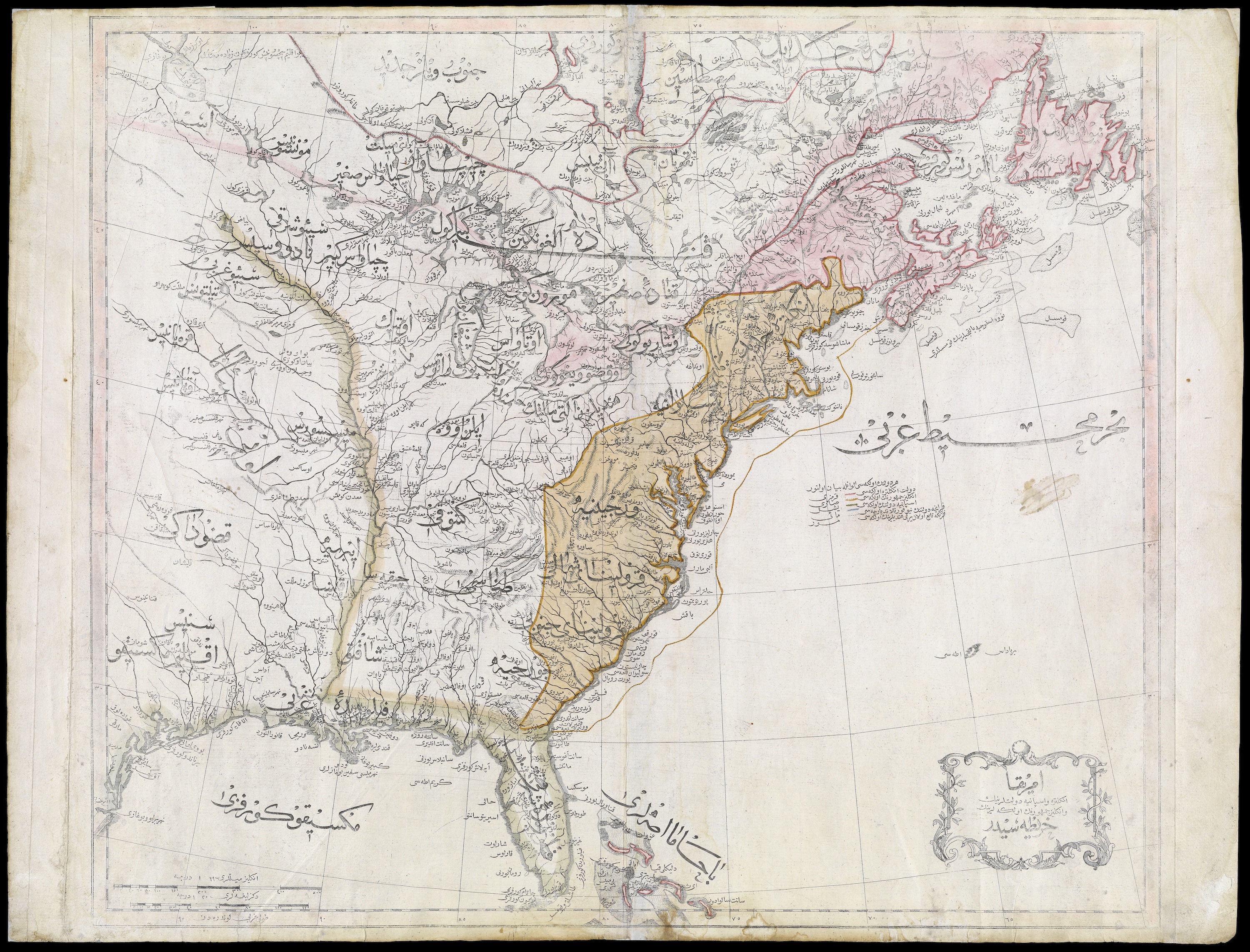
ICYMI, most recent links are here, and include Dr. Samuel Johnson's birthday, a bacon vending machine, the science of jumping from a moving train, and, from 1803, the Ottoman Empire's first map of the new United States.

Wednesday, September 18, 2019

Russian Food Art

Not sure how I started down this path, but apparently this is a thing, and there are lots more examples on Google:


Yum - a boiled hot dog and saurkraut birthday cake.


Wednesday links

It's the birthday of Dr. Samuel Johnson: here's a selection of his excellent insults.

82-year-old shopkeeper fought off a robber by whacking him with her walking stick.


How to Jump from a Moving Train Using Science.

Study of French postmen's testicles - the researchers taped thermometers to men’s testicles to try to work out if both are the same temperature.

ICYMI, most recent links are here, and include the anniversary of the 1814 battle of Baltimore (inspiration for the Star-Spangled Banner), code breakers of Renaissance Venice, Tater Tot history, the guy who collects the mud used to treat every single regulation major league baseball, and how ancient Romans managed to build perfectly straight roads.

Monday, September 16, 2019

From 1803, the Ottoman Empire's first map of the newly minted United States

Via Slate:

What did the United States look like to observers from the Ottoman Empire (wiki) in 1803? In this map, the newly independent U.S. is labeled “The Country of the English People” (“İngliz Cumhurunun Ülkesi”). The Iroquois Confederacy shows up as well, labeled the “Government of the Six Indian Nations.” Other tribes shown on the map include the Algonquin, Chippewa, Western Sioux (Siyu-yu Garbî), Eastern Sioux (Siyu-yu Şarkî), Black Pawnees (Kara Panis), and White Pawnees (Ak Panis).

Click here for a zoomable version, and/or visit the map's page in the digital collections of the Osher Map Library, University of Southern Maine. 

Click here to embiggen


Related:


More old US maps here.